
The who what?
That is exactly what I thought when I found the small, red, “point of interest” square in my trusty [NatGeo Adventure Edition] road atlas, lying barely an inch north of Blythe, California.
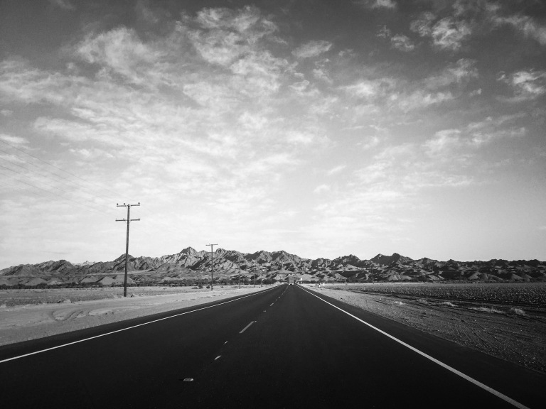
Ok, so I know what Blythe is. It’s a dusty little agricultural town on the CA-AZ border that most people would probably consider a rest area at best. Having traveled I-10 between Los Angeles and Phoenix numerous times over the last 15 years, I’ve blurred through the area, pausing momentarily to either gas up and grab a snack, or slow down for the agricultural inspection, but I had no idea what lied just a short drive north of the freeway.
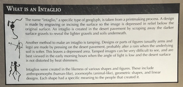
An intaglio, though? That word had my wheels spinning, forcing me back to Art History 101, or 115A or some class where I learned a bunch of similar sounding Roman or Greek terms to describe various methods of art making. Simply put, it is a technique where the form is carved, cut or otherwise imprinted onto a surface. Here at the Blythe Intaglios, that surface is the earth.
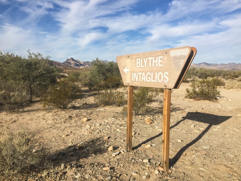
Now to be perfectly honest, I’m definitely not recommending taking a trip out there just to go see these. Even from the exit on I-10 (#241 Intake Blvd/US 95), it’s a half-hour minimum round trip drive, unless like me you get stuck behind a semi truck hauling a load of hay, which is very possible. My visit included hiking to the 3 closest of the 6 intaglios to where I parked. If you have a high clearance vehicle, you may drive close to each and then walk a short distance to view them. You may even be able to find the other 3 intaglios, of which I was never able to locate on Google Maps, and therefore didn’t attempt to find on foot.
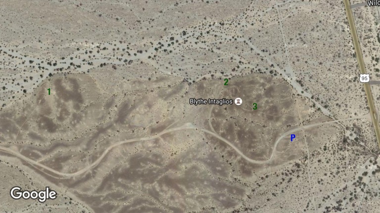
All in all, it was a 90 minute side trip for me, which included a 1.75 mile hike out and back that took about 40 minutes. It was free and I was happy to explore as I was in no hurry on my trip this time, and I can easily geek out on any kind of ancient (dates actually not determined) “rock art” that has been marked upon the land, however this was my first experience with large-scale geoglyphs such as these.


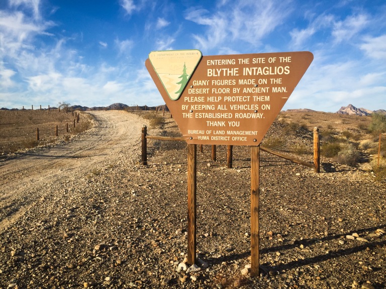
No fees or permits are required, and the intaglios are accessible to the public 24 hours a day, all year long. Click here for more information.
THANK YOU FOR VISITING, AND SEE YOU ON MY NEXT ADVENTURE!

Very cool…this is the kind of stuff our family loves!
LikeLike